
GIS Water Mapping & Infrastructure Planning Services in Kenya
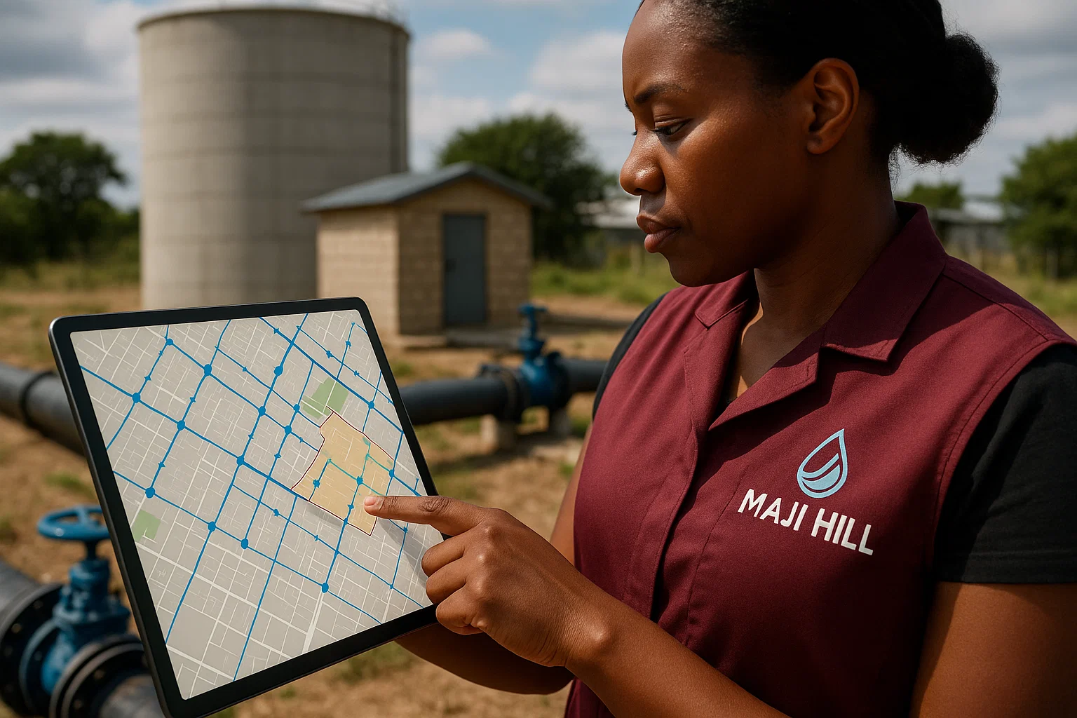
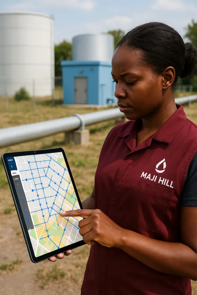
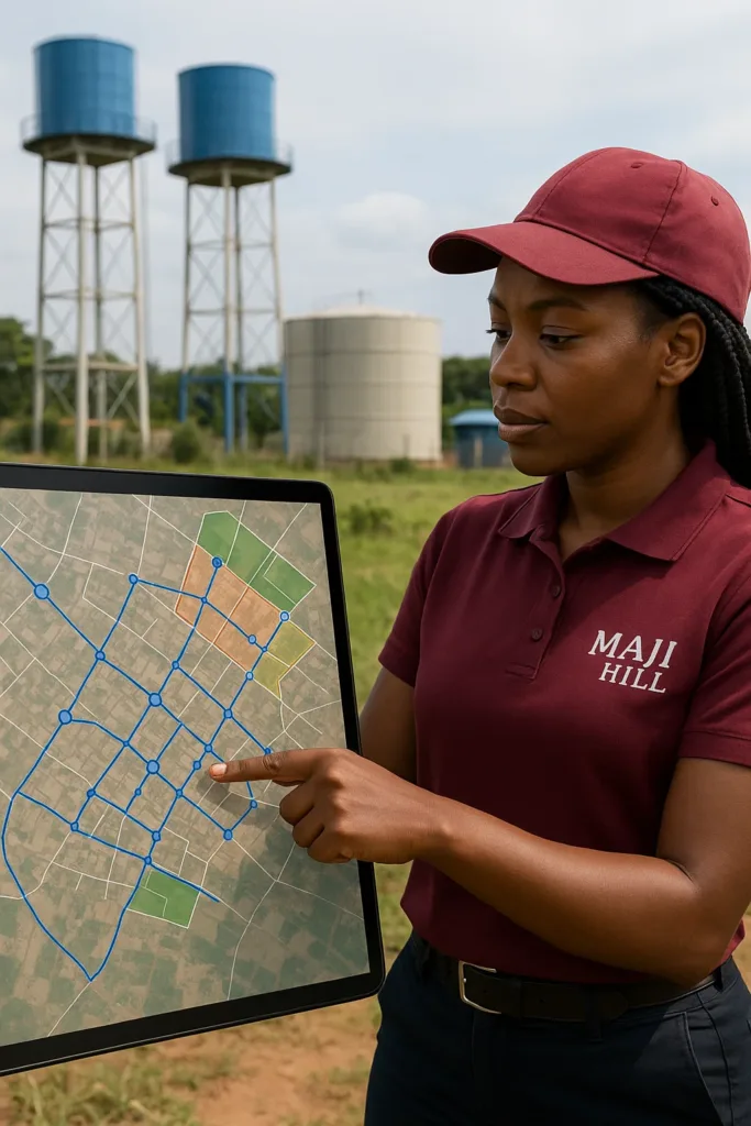
At Maji Hill, we specialize in GIS-based water mapping and infrastructure planning services designed to support smart, data-driven water resource management across Kenya. Our expert team leverages Geographic Information Systems (GIS), remote sensing, and advanced spatial data analytics to help governments, utilities, engineers, and NGOs plan, monitor, and optimize water systems efficiently.
Smart Water Infrastructure Through GIS Technology
We use GIS technology to map and analyze water distribution networks, sewer systems, boreholes, dams, and other water infrastructure. Whether you’re working on urban water planning in Nairobi, rural water supply projects in Turkana, or county-wide sanitation mapping, we deliver reliable geospatial insights that drive better planning and policy decisions.
Our GIS & Water Infrastructure Services Include:
Water pipeline and distribution mapping
Hydrological modeling and water catchment analysis
Asset management for water utilities
Sewer and drainage system mapping
Borehole and water point mapping (WPM)
Water demand forecasting and planning
Integration with mobile data collection tools (e.g., ODK)
Thematic maps for project reports and presentations
Who We Work With:
County governments & water departments
Water utility companies
Environmental & sanitation NGOs
Engineering & urban planning firms
Real estate developers & consultants
Research institutions and universities
Areas We Serve in Kenya:
GIS water mapping Nairobi County
Infrastructure planning in Mombasa, Nakuru, Machakos, Kajiado
Rural water planning in Turkana, West Pokot, Kitui, Garissa
Urban sanitation mapping in Kisumu, Uasin Gishu, Embu
We provide nationwide GIS support, including field data collection and spatial data processing.
Why Choose Maji Hill?
Use of advanced GIS software (ArcGIS, QGIS)
Field-to-office integration using mobile mapping apps
Satellite imagery and drone mapping support
Accurate, customized maps and infrastructure plans
Local knowledge + global mapping standards
- Trusted Bulk Water Supply Services in Kenya
- Plumbing & Water System Repair Services
- Smart Water Monitoring & IoT Systems in Kenya | Maji Hill
- Water Usage Audit & Water Sustainability Consulting
- Water Usage Analytics & Dashboard Solutions
- Water Tank Cleaning Services
- GIS Water Mapping & Infrastructure Planning Services
Have any Questions? Call us Today!
(+254) 710573334
Brochures
Let’s Map Your Water Future Today
Contact Maji Hill for expert GIS water mapping and infrastructure planning services in Kenya. Whether you’re planning new pipelines, analyzing existing systems, or conducting water needs assessments, we bring data to life—on the map and in the field.